About six thousand of our army raised during the first year of the war of 1812–15 and sent on to protect our frontier at Buffalo, went into winter quarters at Williamsville village, eleven miles north of Buffalo. Their encampment at that place was just north of the main road, and contiguous to the village...
Sickness, as is usual in camp, prevailed among them; and some two or three hundred died and were buried on the grounds adjacent. Since then the village has spread, covering the ground where they were buried, and long since not a vestige of a grave was left to be seen.
There were quite extensive barracks built on the bank of the Eleven Mile Creek, a very healthy, eligible place; it being retired from the immediate scenes of conflict and about one mile above the village. It continued to be our General Hospital for sick and wounded soldiers during this war.
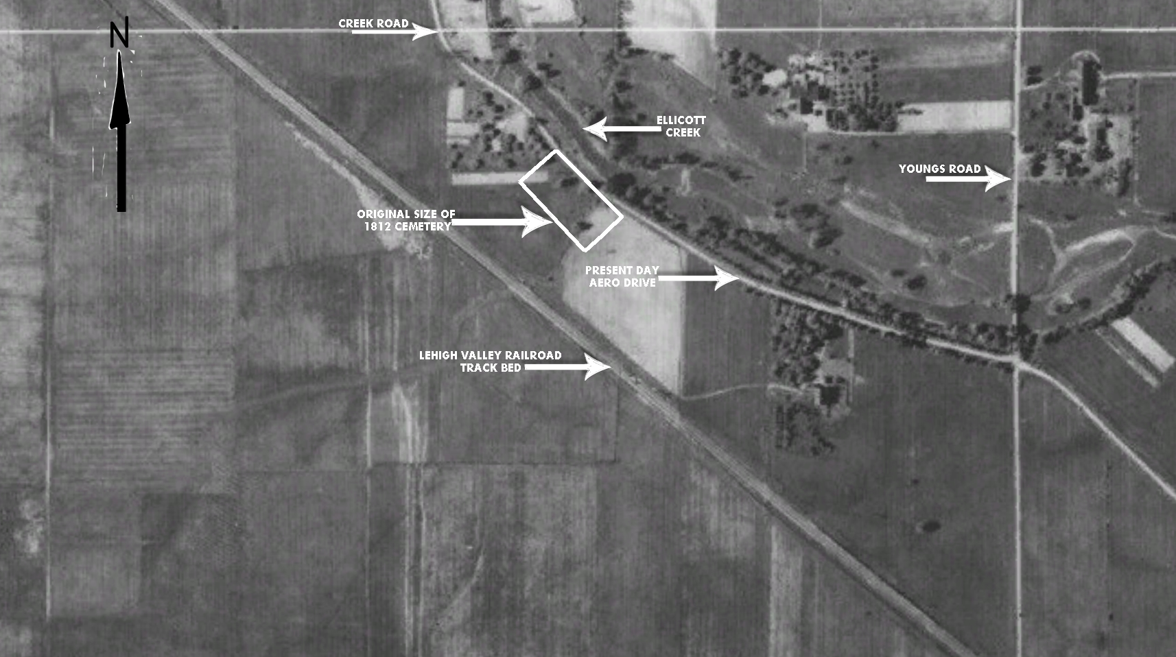
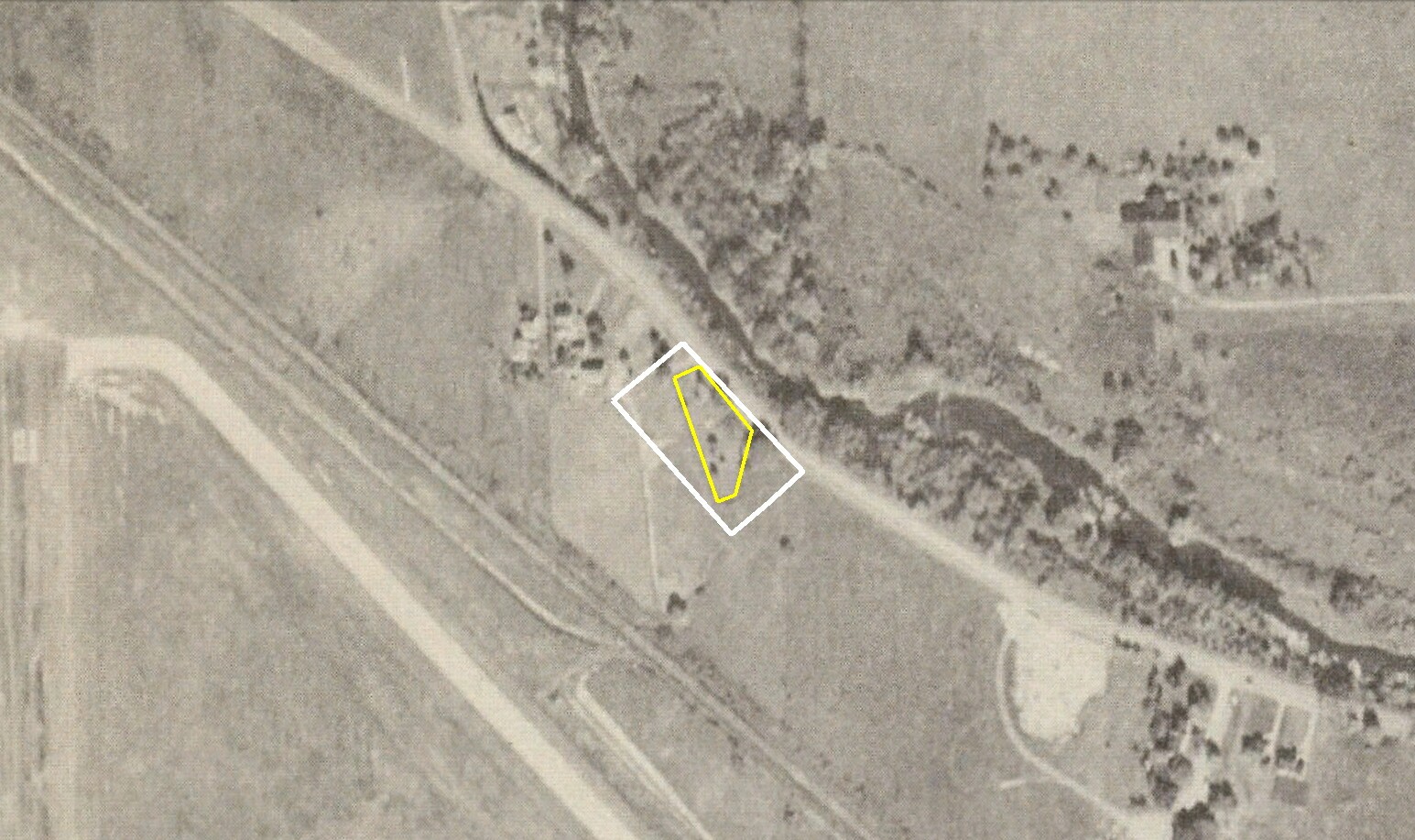
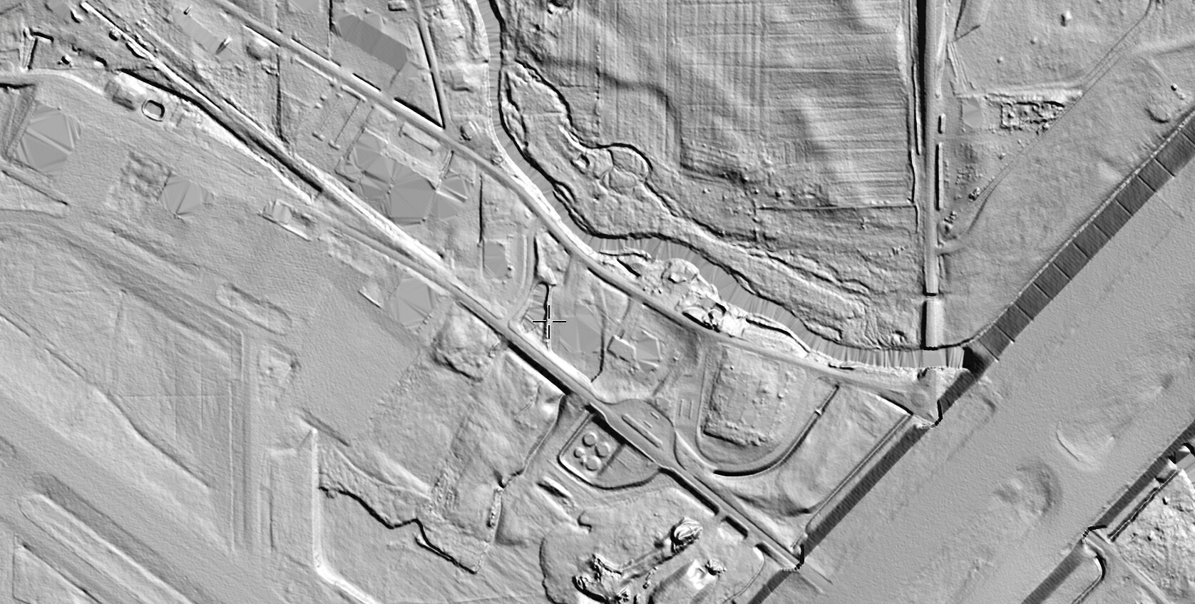
During the three years of the conflict, many of our soldiers died, and were buried at the side of a field near by. The ground that contains their remains comprises about half an acre, lying on the southwesterly side of a public road; the Eleven Mile Creek running parallel and adjoining.
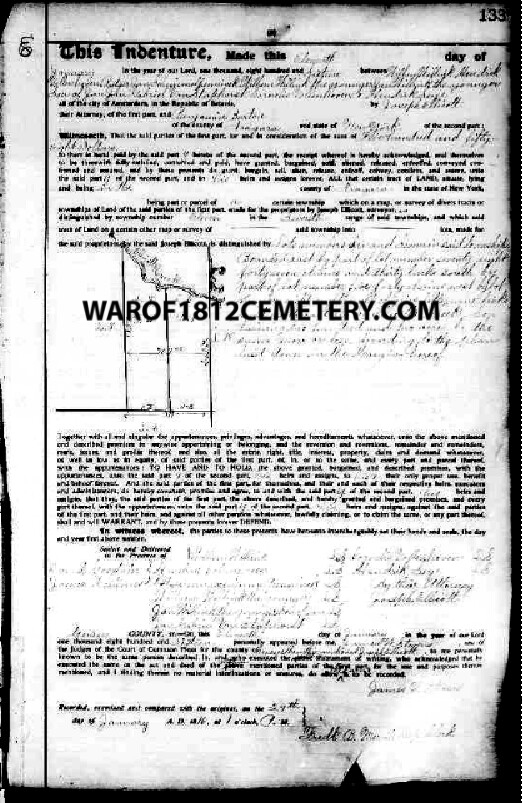
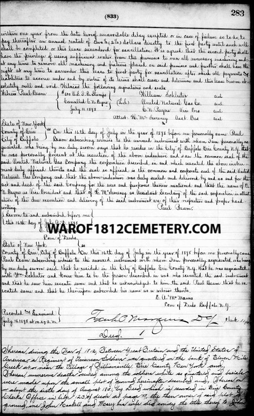
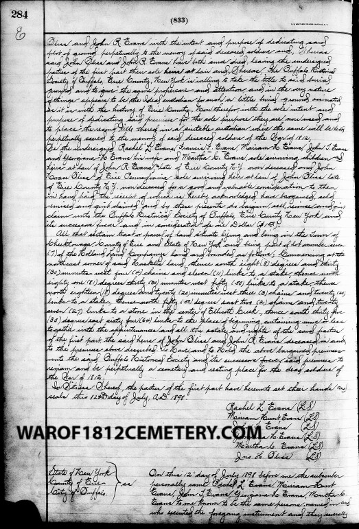
Two of our townsmen, Col. John Bliss and John B. Evans, feeling an interest that this ground should never be disturbed or encroached upon, procured the title by a warranty deed from the owners, John Haskel and wife, to themselves, dated August 6th, 1851, and duly recorded.
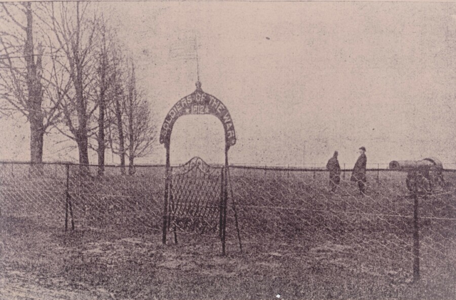
The number of our own soldiers buried on this ground is supposed to be three hundred or more; and in one retired corner lie nearly one hundred of our enemies who were wounded, taken prisoners and died. Many of the latter were captured at the desperate sortie the British made on Fort Erie August 14, 1814, and the blowing up of the magazine.
Recently with one of the oldest residents of the town, Hon. T. A. Hopkins, I visited this burying place. There was not a slab or monument of any kind to be seen to designate the graves. Only the uneven hillocks marked the spot that contains the bones of our unhonored dead.
On the border of two sides stand ten sugar maple trees, from one and one-fourth to two feet in diameter; all but one in a fine healthy condition. I have no doubt they were planted there by the comrades of those whose bones now occupy this ground.
Our Government ought to erect at this beautiful retired place a suitable monument to their memory and provide for removing thither the skeletons of others, when found in excavating in the village.
Buffalo Cemeteries: An Account of the Burial-Places of Buffalo, from the Earliest Times — read before the Buffalo Historical Society, February 4, 1879
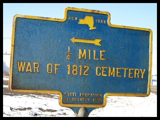 The Garrison Burying Ground — War of 1812 Cemetery, Aero Drive, Cheektowaga, NY